

Cloud
SDSC provides cloud services for open data as well as managed secure public cloud services.
Colocation
For researchers who choose to purchase their own IT equipment, SDSC offers rack colocation services.

Consulting
SDSC consultants provide expert advice on end-to-end cyberinfrastructure solutions, cybersecurity, networking, systems administration, and more.

Data Management
Solutions for research teams struggling with intractable data organization and data access.
High-Performance Computing
Computational resources and expertise tailored for your research goals.

Regulatory Compliance
Solutions for Health Insurance Portability and Accountability Act (HIPAA), Federal Information Security Management Act (FISMA) and Controlled Unclassified Information (CUI) compliance.

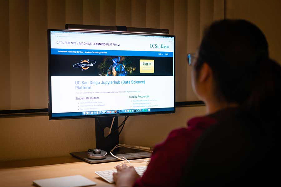
Science Gateways
Saving researchers and institutions time and money, SDSC offers a community-developed set of tools, applications and data that are integrated through a web-based portal or a suite of applications.
Software & Applications
SDSC provides a wide range of software applications – from finite element codes to state-of-the-art visualization packages.
Storage
SDSC offers Network File System storage to campus users, members of the UC community, and UC affiliates.

Web & Database Hosting
SDSC provides reliable web hosting and database hosting to the UC and UC San Diego communities.